Victoria Falls
On the Zambezi, a curtain of water 1,708 metres wide that the Zimbabwean trail traces along its entire length, an ideal base for rafting, scenic flights and safaris.
At the far north-west of the country, where the Zambezi marks the border with Zambia, Victoria Falls form a geological rupture 1,708 metres wide and 108 metres high. The Kololo people called them Mosi-oa-Tunya, the smoke that thunders, referring to the spray column visible from several tens of kilometres away. Our team has been working the region from the small town of Victoria Falls, 1 km from the site, whose main street, Livingstone Way, concentrates lodges, activity operators and the Mukuni craft market.
The site itself is protected on the Zimbabwean side by Mosi-oa-Tunya National Park. A marked trail of approximately 1.7 km runs along the canyon facing the falls and serves sixteen viewpoints, from Devil's Cataract to the west to the Eastern Cataract marking the border. This configuration explains why the Zimbabwean bank offers a more complete vision than the Zambian bank, which provides access only to a fraction of the water curtain. The falls bridge, a steel arch structure completed in 1905, links the two countries above the second gorge and constitutes Africa's highest bungee jumping point.
Water flow conditions the experience more than any other factor. After the rainy season, in April and May, the Zambezi discharges over 500 million litres per minute: spray saturates the air, drenches visitors within minutes and masks part of the falls from direct view. Conversely, between October and early December, flow drops to its minimum and certain sections, notably on the Zambian side, may dry up. For photography and site visibility, the September-November window remains most balanced. To feel the sheer power of the river, March-May is essential.
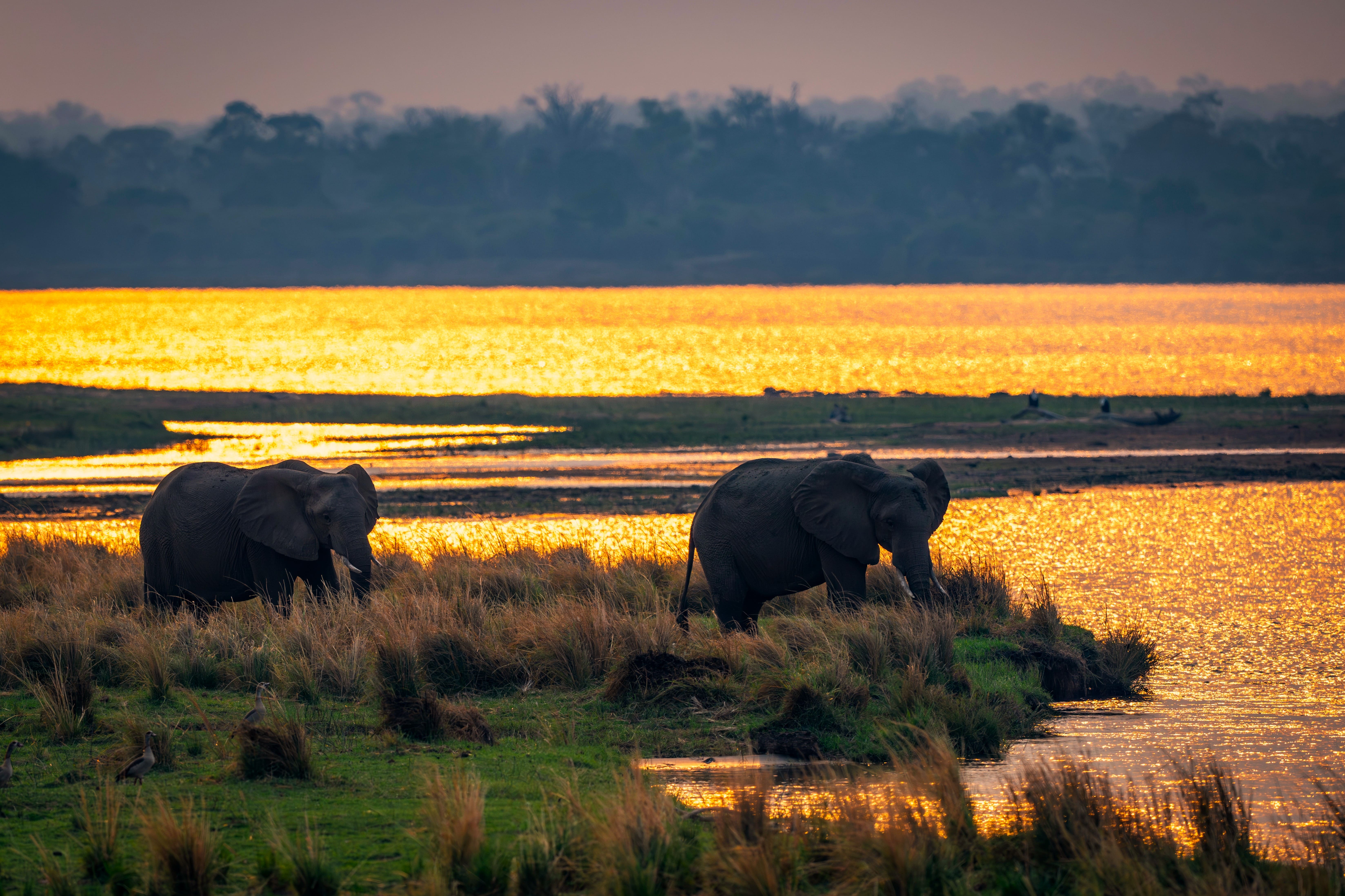
Beyond the falls, the town serves as a base for a range of activities structured around the river and Zambezi National Park, which extends just upstream. Sunset cruises depart around 4 p.m. from the landing stages situated upstream of the falls, on a calm stretch of the Zambezi where hippopotamuses, crocodiles and elephants come to drink. Rafting in the gorge downstream, through Class IV and V whitewater, is practised between August and December when water levels permit. Helicopter or microlight scenic flights offer the only perspective that captures the zigzag geometry of the seven successive gorges carved by the river through basalt.
The region also carries a rich cultural history. The Tonga and Nambya villages, long established in the Zambezi basin, were partly displaced during the construction of the Kariba Dam in the 1950s. Elephant's Walk market and Mukuni market sell soapstone sculptures, ilala baskets and chitenge fabrics. On the culinary side, you'll taste grilled Zambezi bream here, sadza accompanied by relish with squash leaves, and farmed game meat served in city restaurants like The Boma. The permanent presence of elephants at the urban edge, which cross the gardens of certain lodges at dusk, reminds us that the boundary between town and bush remains porous.
To discover
Trail of sixteen viewpoints. 1.7 km walk along the canyon, from Devil's Cataract to Eastern Cataract, with a waterproof jacket recommended between March and June as spray is so dense.
Sunset cruise on the Zambezi. Three hours on the calm stretch upstream of the falls, encountering hippopotamuses and elephants descending to drink at dusk.
Flight of Angels helicopter scenic flight. Thirteen minutes above the seven successive gorges, the only way to grasp the zigzag course of the river through basalt.
Rafting in the Zambezi gorge. Descent through Class IV and V whitewater between August and December, over some twenty rapids spread across 24 km downstream of the falls.
Mukuni market and Tonga craftsmanship. Green soapstone sculptures, ilala woven baskets and ngoma drums, sold by families from neighbouring villages.
When to go
The region experiences a tropical climate with two distinct seasons. The dry season, April to October, offers sunny days and cool nights: expect 25 to 28°C during the day between May and August, with mornings around 8 to 10°C in June-July. This is the best period to combine the falls with a safari at Hwange. The months of October and November see temperatures climb to 35-38°C before the first rains, which typically arrive in late November and last until March.
The falls' water flow follows this seasonality with a time lag. Peak occurs in April-May, just after the rains, when direct vision is partly lost in the spray. September to November offers reduced flow but maximum site visibility and better photographic conditions. January and February combine heavy rains with still modest flow: these are the months we recommend avoiding for a first visit.
Practical advice
We recommend a minimum of two nights in Victoria Falls: one day for the trail on the Zimbabwean side and the town centre, a second to combine two activities, for example a helicopter flight in the morning and a cruise in late afternoon. Three nights allow you to add a rafting day or a safari in Zambezi National Park. Victoria Falls International Airport (VFA) receives direct flights from Johannesburg, Nairobi and Cape Town, and is 20 minutes' drive from the town.
The most natural combination is with Hwange, 2.5 hours' drive to the south, which complements your stay with quality safari experiences. For a longer itinerary, continue to Matobo and Bulawayo, then Great Zimbabwe. Mana Pools, further east on the Zambezi, requires a domestic flight from Victoria Falls via Harare. The region suits all profiles, from families with children (cruise, Bushtracks Express steam train) to active travellers (rafting, kayaking, bungee jumping). Comfort levels range from bush camps to historic lodges such as the Victoria Falls Hotel, opened in 1904.